

Routes
Routes
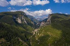
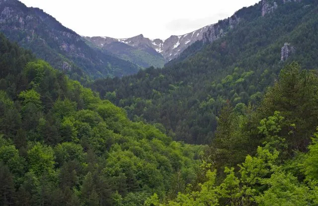
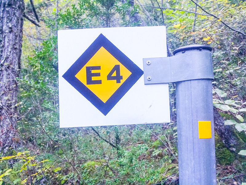
The routes on Olympus offer unique hiking and mountaineering experiences, covering a variety of difficulty levels. The most well-known and popular path to the summit is the E4 trail, which starts from Litochoro and passes through the Petrostrouga refuge, ending at Mytikas.
Another route is the path from Prionia, which offers stunning views and passes through the Spilios Agapitos refuge, also known as “Zolotas”. This route also leads to the highest peaks, such as Skolio and Mytikas.
For nature lovers, the path from Gortsia to the plateau of the Muses is excellent, offering views of wild landscapes and beautiful alpine lakes. There, visitors can stay overnight at the Christos Kakkalos and Yosos Apostolidis refuges.
The routes on Olympus are characterized by diversity, offering opportunities for exploration to both beginners and experienced climbers, revealing the unparalleled natural beauty and mythical charm of the mountain.
Route selection
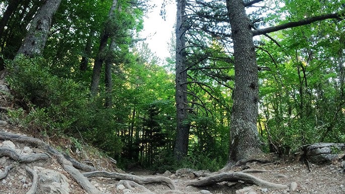
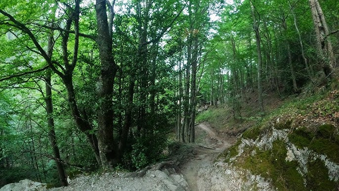
Prionia - Refuge "Spilios Agapitos"
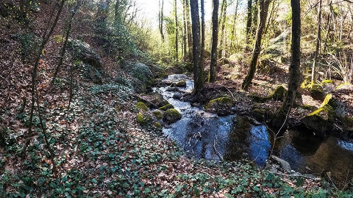
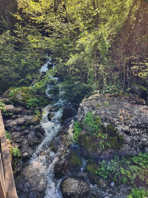
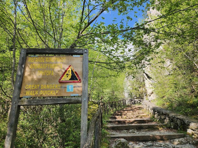
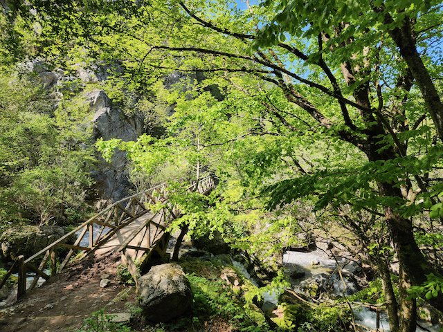
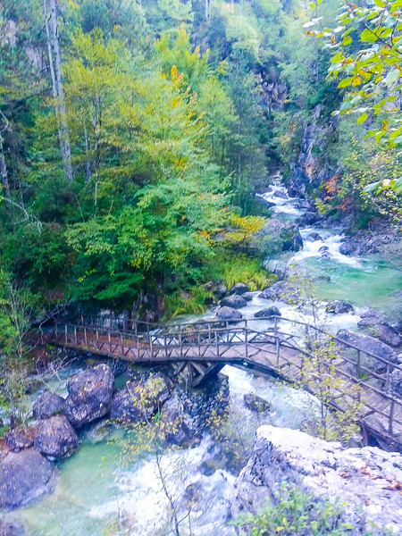
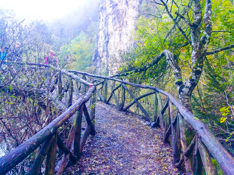
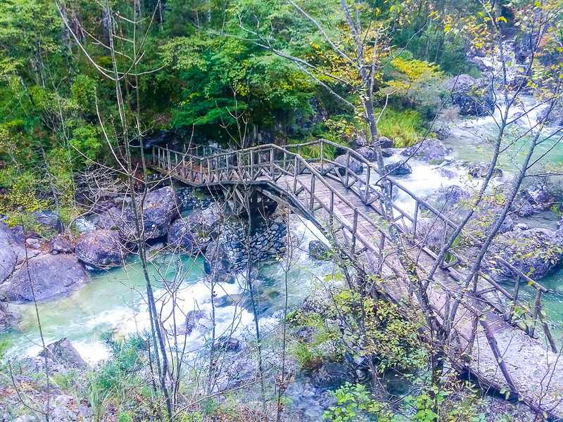
Starting from Prionia, which is accessible by car and located at an altitude of 1,100 meters, the route passes through a beautiful forest path and the Enipeas Gorge, offering hikers breathtaking views of the surrounding landscape. The trail is well-marked and follows the E4 European long-distance path.
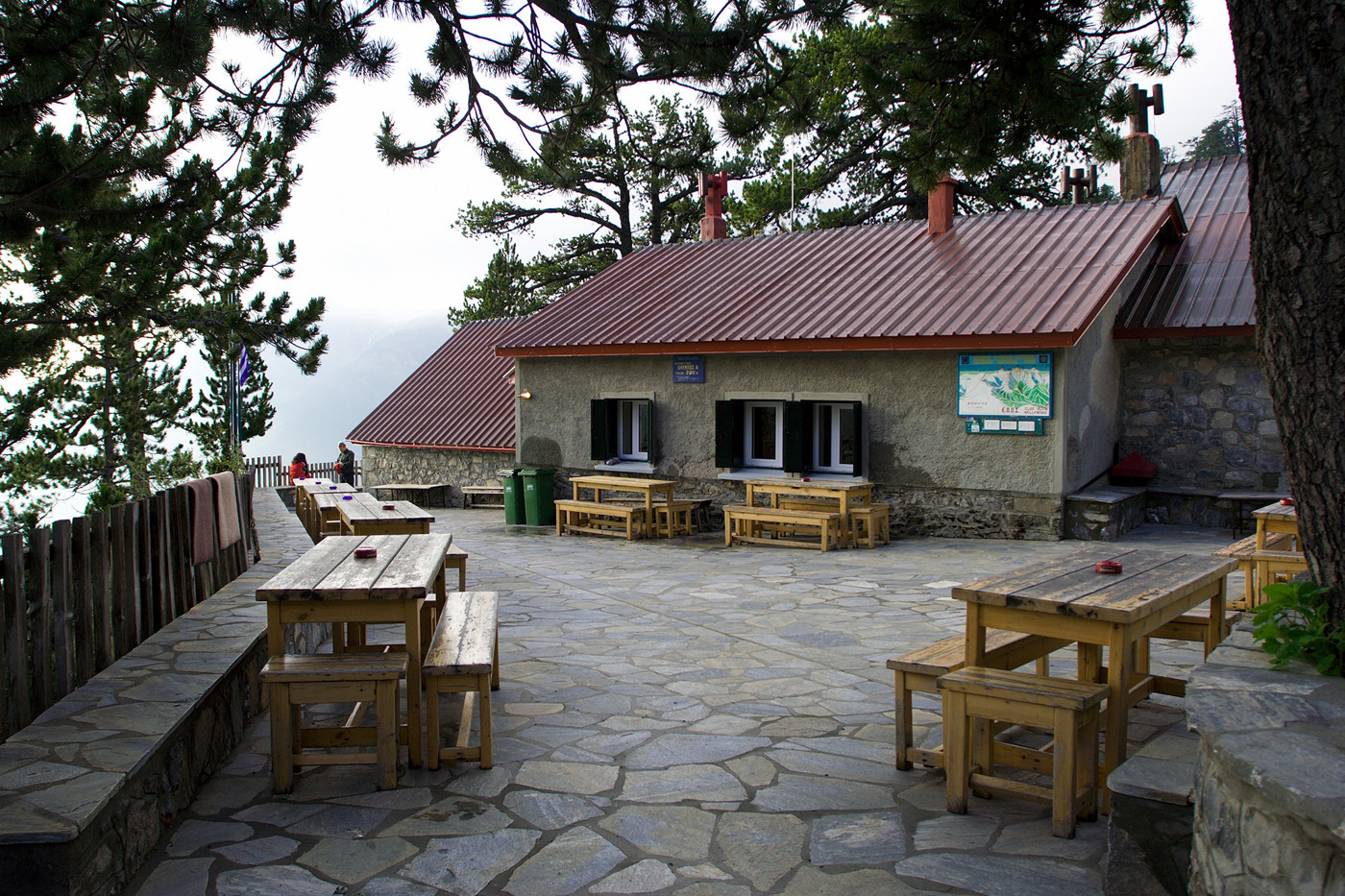
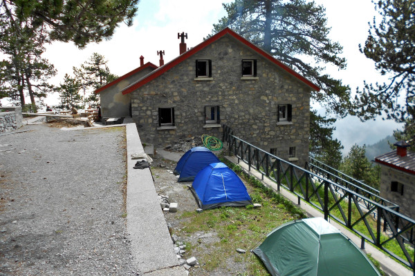
The hike to the Spilios Agapitos Refuge, also known as Refuge A, covers approximately 6 kilometers with an elevation gain of about 1,000 meters. It usually takes 3 to 4 hours, depending on the hiker's pace and weather conditions.
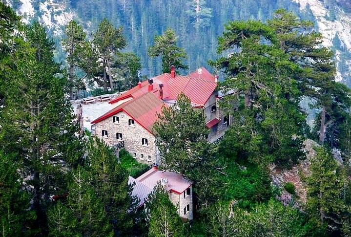
The refuge, located at an altitude of 2,100 meters, serves as a resting point for hikers aiming to reach the summits of Mount Olympus or for those seeking an overnight stay in a picturesque mountain environment. It offers basic amenities such as food, drinks, and sleeping accommodations.


Checkpoints

1100 m
Prionia

• restaurant

1375 m
Bench and fountain

• 2 km walk
• 1 hour
1380 m
Intersection

• 0.2 km walk
• continue right
1700 m
Intersection

• 1.8 km walk
• 50 minutes
• continue left
2100 m
Spilios Agapitos Refuge

• 0.335 km
• 50 minutes
TO LIVE THE FULL EXPERIENCE
Spilios Agapitos Refuge – Skolio Summit
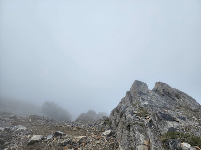
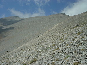
Starting at the refuge, which is situated at an altitude of 2,100 meters, the trail ascends steeply towards the summit. The path is well-marked and requires careful navigation, especially in areas with loose rocks and narrow ridges.
The hike covers approximately 3.5 kilometers with an elevation gain of about 800 meters. It typically takes 2 to 3 hours to reach the Skolio Summit, depending on the hiker's pace and weather conditions.
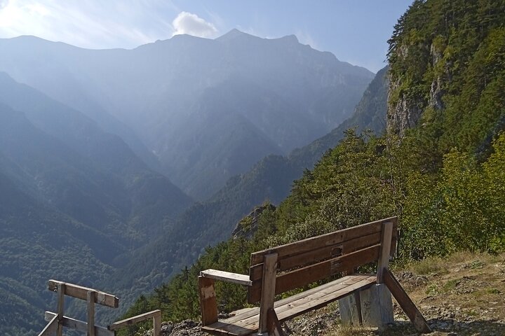
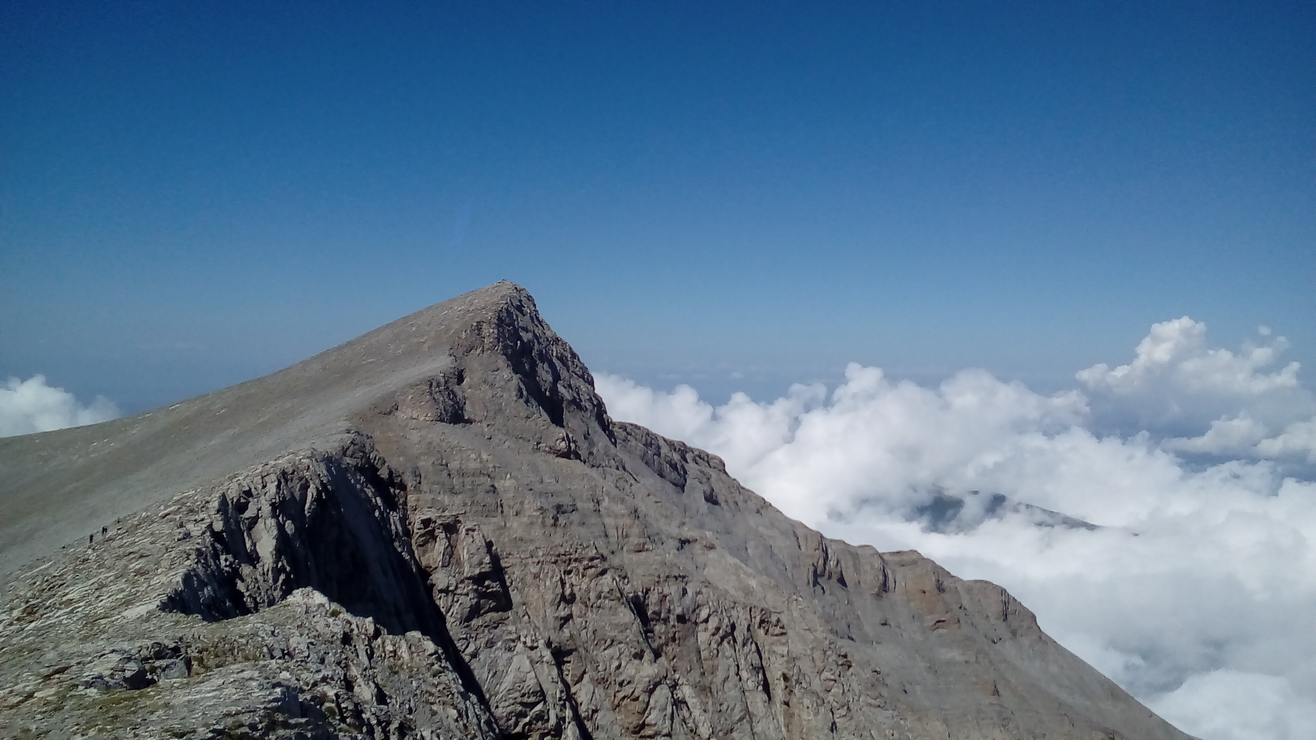
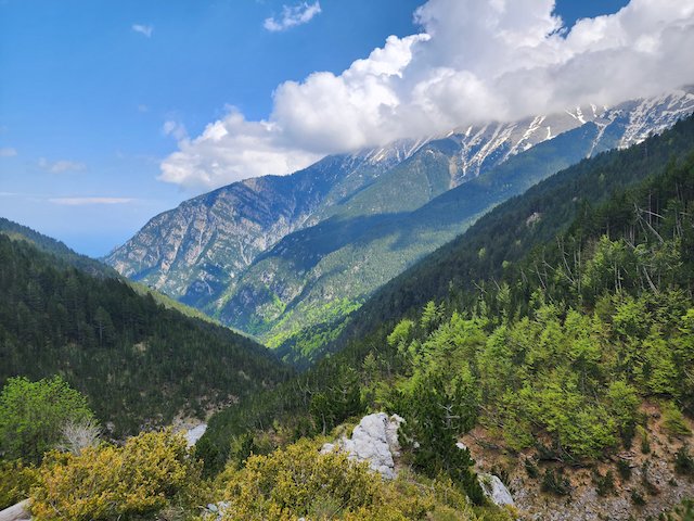
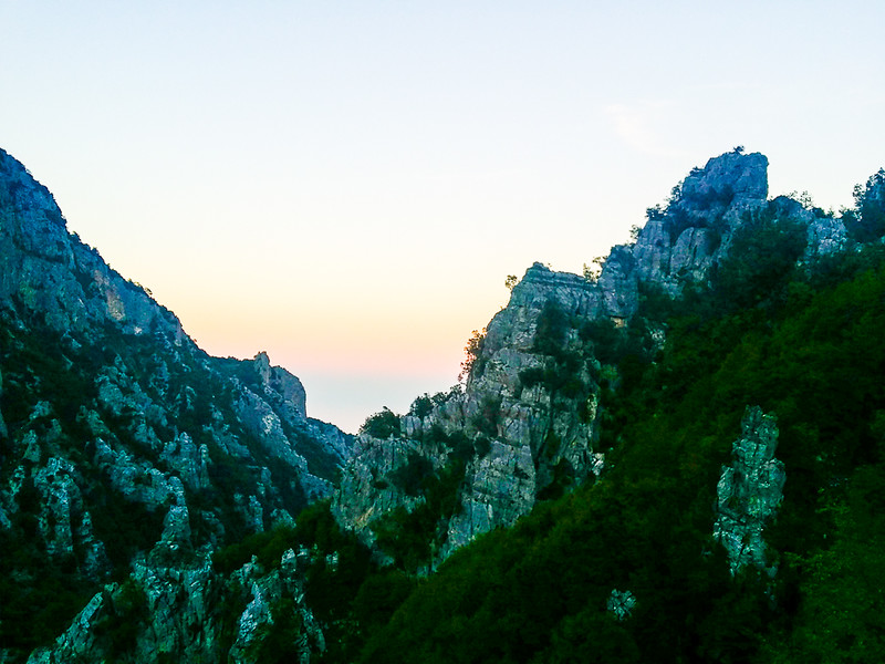
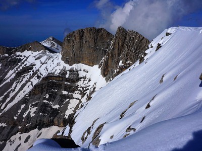
As you ascend, the vegetation becomes sparser, giving way to rocky terrain and alpine meadows. The views become increasingly spectacular, offering panoramic vistas of the surrounding peaks and the Aegean Sea. Skolio Summit, at an altitude of 2,905 meters, is the second highest peak of Mount Olympus and provides a stunning vantage point for observing Mytikas, the highest peak.
Checkpoints
2100 m
Spilios Agapitos Refuge

2140 m
Intersection
0.230 km walk, 10 minutes
2220 m
Viewpoint with bench

0.420 km walk, 15 minutes
2420 m
Viewpoint with bench
0.650 km walk, 30 minutes
2480 m
Intersection (left)

0.200 km walk, 10 minutes, intersection (left)
2875 m
Skala Summit

1.5 km walk, 55 minutes
2905 m
Skolio Summit

0.700 km walk, 30 minutes
TO LIVE THE FULL EXPERIENCE